Inyo County
Community Description & Overview
Business activity in Inyo County has historically been, and continues to be, dominated by natural resource-related industries and sectors, including agriculture, mining, energy, and leisure. Today, Inyo County’s economy is driven predominantly by three economic segments: tourism, local spending, and mining. Mining has played an important role in Inyo County’s history, and commodities which are or have been mined include gold, silver, copper, lead, zinc, borax salt, sulfur, and talc.
Southern California Edison (SCE) and the Los Angeles Department of Water and Power (LADWP) provide power to the Inyo County communities.
Renewable Energy Factors
Inyo County’s geography allows for excellent renewable resource potential and its history illustrates a consistent interest in its development. Inyo County has superior opportunities for energy development. Wind, solar, and geothermal resources are present throughout the County, along with existing transmission facilities through the west side of the County. Elected officials and staff are open to opportunities to explore the County’s renewable resources and will continue to find ways to encourage its development.
The RDSBC Inyo County, CA Renewable Energy Resources map (right) shows solar resources for Concentrating Solar Power (CPS) and tilted Photovoltaic (PV), favorability for Geothermal Potential, annual average Wind Resource at 50-meter height above ground surface, Great Basin Pinyon-Juniper Woodland as a Biomass energy source, and transmission lines and substations for capacities 230 kV or greater. CLICK here or on the map image to view or download the 34″ x 44″ PDF version of the map. Please note: the file is large and may take a while to display.

Geothermal: Inyo County tapped into its geothermal resources in 1987 when the Coso Geothermal field was built. It consists of four power plants that have produced up to 273 megawatt (MW) of electricity. The BLM is assessing potential impact of amending the California Desert Conservation Area boundary to support additional geothermal exploration and development in the Haiwee Geothermal Leasing Area, increasing the potential for geothermal development in the County.
Solar: Solar energy potential in Inyo County is amongst the highest in the nation. Because the County is in the rain shadow of the Sierra Nevada, on average, there are approximately 300 sunny days per year. The wide flat valleys provide excellent locations for solar power generation facilities with limited shadows from the mountains. There are several solar energy projects currently in various stages of exploration and development within Inyo County, including:
- Inyo County’s rooftop solar project for county buildings.
- Death Valley National Park installed PV for use at all the park’s facilities and was in the process of connecting to California’s electric grid.
- Xanterra’s Furnace Creek Resort located in Death Valley installed a PV system that provides electricity for all of its facilities, including the historic Inn at Furnace Creek, the Ranch at Furnace Creek, Furnace Creek Golf Course, employee offices and housing.
Wind: Inyo County has many areas with wind resource potential suitable for wind turbines. These areas are generally associated with the County’s larger mountain ranges, particularly in eastern Inyo County along the western edge of the Sierra Nevada Mountains. Wind resource areas are also identified along the White Mountains, Inyo Mountains, Grapevine Mountains and Panamint Mountains. The Little Lake South Wind Project was granted a permit in 2010 to place three meteorological towers for the purpose of assessing wind resources near the Pearonville area.
Transmission: SCE and LADWP each own and operate a transmission line which runs north-south along U.S Highway 395. SCE’s transmission line consists of 100 to 161 kV cables, and heads east at Bishop continuing towards southern Esmeralda County. The LADWP transmission line, also known as the Pacific DC Intertie, is a 500 kilovolt (kV) direct current (DC) line and continues to head north past Bishop, through Mono County, California, and into Mineral County, Nevada.
Inyo County Utility Table
A PDF version of a table summarizing Inyo County Load Service Utility Information for the two load serving utilities in Inyo County: Southern California Edison and the Los Angeles Department of Water and Power.
RDSBC Brownfields Properties
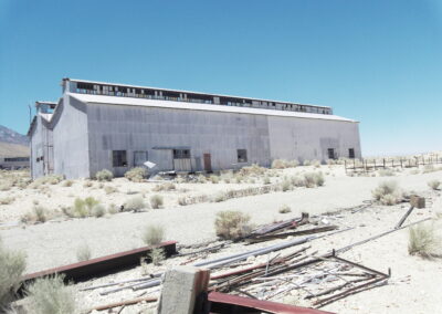
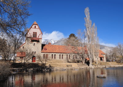
Inyo County has three assessed Brownfield Properties: PPG Industries Bartlett Plant, Mt. Whitney Fish Hatchery, and the Wye Road Property.